Things to Do
RV & Site Information
For RV enthusiasts planning a visit, TRACE BRANCH CAMPGROUND accommodates recreational vehicles up to 70 feet in length. This US Army Corps of Engineers is available for advance reservation, making it a reliable choice for planned trips.
Guests at TRACE BRANCH CAMPGROUND can enjoy essential amenities including Water (Seasonal), Proximity to Water: Riverfront, and Water Hookup. The site is maintained by US Army Corps of Engineers, ensuring consistent upkeep and facilities management.
Popular activities at this location include Boating, Camping, Fishing, and Swimming site. The campground's proximity to BUCKHORN offers convenient access to additional outdoor recreation opportunities in the Kentucky region.
Located in BUCKHORN, Kentucky, TRACE BRANCH CAMPGROUND provides bookable camping options for visitors exploring America's public lands. Contact the site directly for real-time availability and current conditions.
About this place
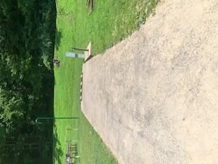
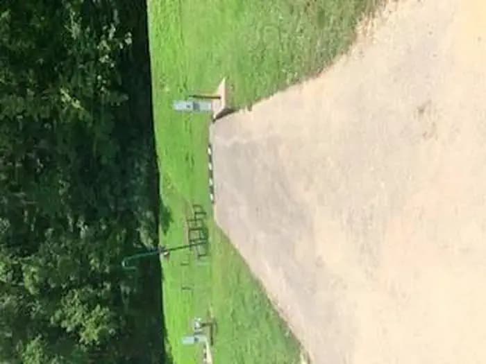
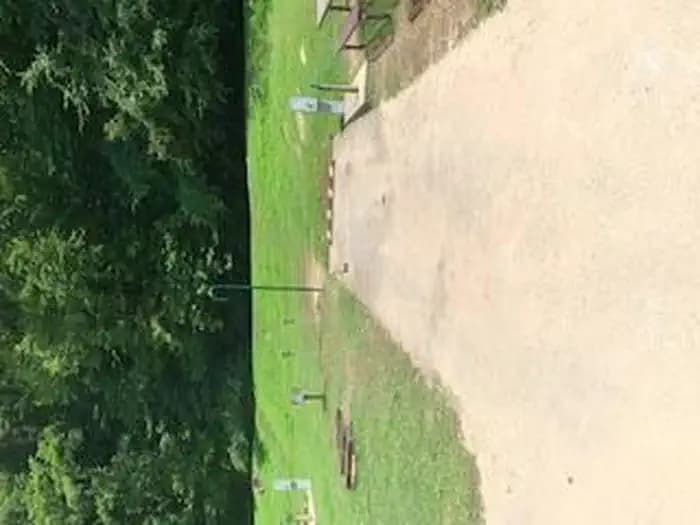
Overview The Trace Branch Campground, located on Buckhorn Lake, is a great launchpad for outdoor activities in Kentucky's lush Cumberland Plateau. The facility features plenty of shade and open grassy areas for spreading out and enjoying the landscape of the Appalachian Mountain Range.Recreation Buckhorn lake offers ideal conditions for anglers including seclusion from fishing pressure and boat traffic, producing some of the best muskie fishing in the area. With comfortable water temperatures,swimming and water skiing are popular in summer months and hikers are encouraged to take advantage of the area's many miles of trails.Facilities Trace Branch Campground boasts mostly waterfront campsites with electric and water hookups. Amenities include a shower house, playground, horseshoe pits, and a convenient fishing area. Natural Features Buckhorn Lake is situated in the Cumberland Plateau of eastern Kentucky. The rugged plateau landscape is deeply traversed by a series of narrow, winding valleys separated by steep watersheds with branching streams. The Kentucky River feeds the lake, originating in the southeast of the state and flowing generally northwestward. Nearby Attractions Nearby destinations include the Lilley Cornett Woods, Daniel Boone National Forest, Natural Bridge State Resort Park and the Red River Gorge Geological Area.
Getting There
From Lexington, KY, take I-75 south 83 miles to London. Take exit 41 or 38 to Daniel Boone Parkway east and continue 44 miles to Hyden Spur. Exit towards Tim Couch Pass and turn left towards Thousandsticks onto Bull Creek Road. Go 2.5 miles to KY Highway 257, then head north about 9 miles to the Confluence bridge. Turn right and cross the bridge, then take a left on Mosley Bend Road. Continue 2 miles to Trace Branch Campground on your left.