

Things to Do
RV & Site Information
Guests at BOB SHETLER PICNIC AREA can enjoy essential amenities including Flush Toilets, and Water Hookup: Y. The site is maintained by US Army Corps of Engineers, ensuring consistent upkeep and facilities management.
Popular activities at this location include Biking, Camping, Fishing, and Hiking. The campground's proximity to JOHNSTON offers convenient access to additional outdoor recreation opportunities in the Iowa region.
Located in JOHNSTON, Iowa, BOB SHETLER PICNIC AREA provides bookable camping options for visitors exploring America's public lands. Contact the site directly for real-time availability and current conditions.
About this place
Overview Bob Shetler Picnic Area is a day-use facility located in the tailwater area below Saylorville Dam, and is a popular destination for shoreline fishermen. The 26,000-acre Saylorville Lake Project stretches over 50 miles up the Des Moines River Valley. The lake provides a wide variety of recreational activities, including boating, swimming, fishing, hiking and hunting.Recreation Visitors come to Saylorville Lake for its great boating, sailing, water skiing, windsurfing and swimming opportunities. Anglers fish for walleye, wiper, largemouth bass, catfish, crappie and northern pike.
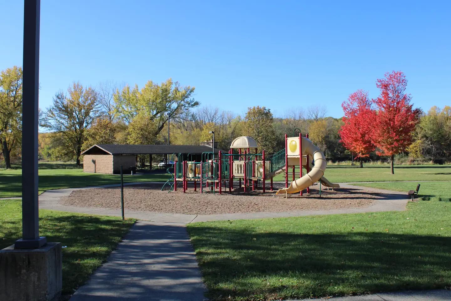
The paved Neal Smith Trail winds 24 miles from Des Moines to Big Creek State Park and connects the campgrounds on the east side of the lake. It is designated as a National Recreation Trail and is used for biking, hiking, jogging, walking and in-line skating.Facilities The day-use area offers two large group picnic areas with water and electric hookups. Amenities include flush toilets, a volleyball court, playground and hiking trails.Natural Features Large shade trees dot the open grassy land around the picnic area, which offers pleasant views of the Des Moines River.
Wildlife is abundant throughout the project. White-tailed deer, turkeys, pheasants, waterfowl, and other small game animals roam the lands around the lake.
Getting There
From I-35, take the Ankeny Exit #90 (Oralabor Road) and go west 4.8 miles; the road turns into HWY 415. Turn left (west) onto NW 37th Street and go 0.3 mile, then turn right onto NW Horseshoe Rd. Turn right and drive across the Saylorville Lake Dam to the campground.
From I-80, take Exit #135 (2nd Avenue/Highway 415) exit and go north 3.5 miles. Turn left (west) onto Oralabor Road (Highway 415) and go 2.6 miles. Turn left (west) onto NW 37th Street and go 0.3 mile, then turn right onto NW Horseshoe Rd. Turn right and drive across the Saylorville Lake Dam to the campground.